



Stage from Skalka u Trenčína to Žítková
Set out on an enriching journey through history and pristine nature that connects two neighboring countries. The stage of the Cyril and Methodius Route leading from scenic Skalka near Trenčín all the way to the rugged highland village of Žítková is an ideal choice for lovers of long-distance hiking and cultural landmarks.
Read more +
The journey begins at Velká and Malá Skalka – significant pilgrimage sites with roots dating back to the 11th century, associated with the hermitic life of Saints Andrew-Svorad and Benedict. From there, the trail continues through Zámoravce to historical Trenčín, dominated by a massive medieval fortress towering over the Váh River, along with a historic Roman inscription from 179 AD carved into the castle rock. Continuing through the picturesque village of Horná Súča, the path enters a peaceful foothill landscape and gradually ascends into the breathtaking natural scenery of the White Carpathians. The final stretch leads you into Žítková, renowned for its unique history, folk traditions, and deep connection with nature. This demanding full-day trail offers a perfect combination of physical challenge, deep cultural experiences, and breathtaking views.
Route Information
Route Conditions
What to expect
A long and physically demanding stage with steeper ascents into the mountain terrain of the White Carpathians.
Road sections
The trail combines marked tourist routes of the Slovak Tourist Club and the Czech Tourist Club. Warning: From Malá Skalka in Slovakia, the marked trail runs alongside a busy road; walking along an unmarked quieter alternative path along the Váh River is recommended.
Footwear
Sturdy mid or high hiking boots (trekking shoes with good traction are essential given the trail length and varied surfaces).
Best time
Route Map
Recommended Stops

Velká Skalka Pilgrimage Site
The oldest pilgrimage site in Slovakia featuring the remains of a Benedictine monastery, hermit caves, and a twin-tower church.

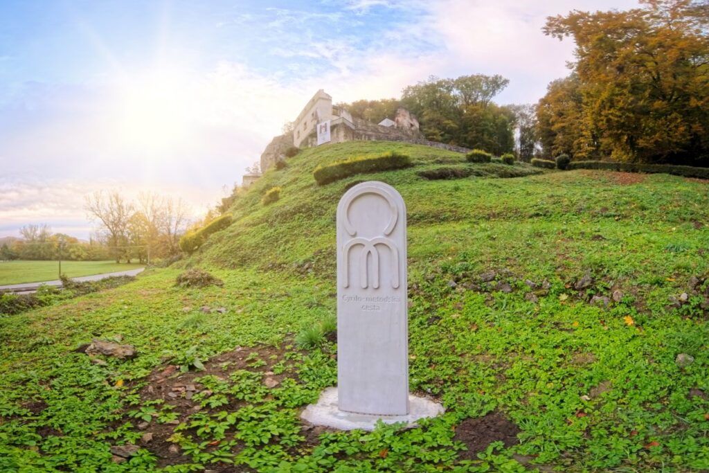
Milestone of the Cyril and Methodius Route in Skalka near Trenčín
Photopoint with the Milestone of the Cyril and Methodius Route with the logo of the Route and the name of Skalka in Glagolitic and Latin Scripts.

Malá Skalka Pilgrimage Site
The two-tower church built in Romanesque style was first mentioned here in 1208. It was dedicated to St. Benadik.

Тренчински замък
One of the largest castles in Europe guarding historic trade routes, complemented by the famous Roman inscription on the castle rock from 179 AD.

The Museum of the Last Goddess of Žítková
The cottage of Irma Gabrhelová (1905–2001), the last of the Žítková goddesses. The goddesses were healers and seers who were able to offer help and advice on all manner of problems and were said to be able to predict the future.

Milestone of the Cyril and Methodius Route in Žítková
Photopoint with the Milestone of the Cyril and Methodius Route with the logo of the Route and the name of Žítková in Glagolitic and Latin Scripts.
Places & Services
Accommodation
Food & Drink
Tourist Information
Related Heritage Sites
